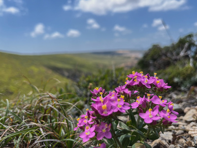
In my free time in between the two working weeks in Lisbon I decided to go hiking in Cascais, and ended up following a path along the Atlantic coast up to cape Roca — the westernmost point of continental Europe. Picturesque sea views, cliffs eroded by waves and wind, sand dunes, a secluded beach with a waterfall — the journey turned out to be more exciting than the final destination.

From Lisbon to Cascais
My journey began in Lisbon at Cais do Sodré train station. I boarded the train to Cascais and in forty minutes arrived at the destination. While walking along the coast I took a few photos of the calm morning sea, admired local cliffs eroded by wind and waves, and headed to the first waypoint — Boca do Inferno (Hell's Mouth).


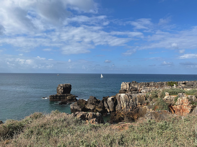
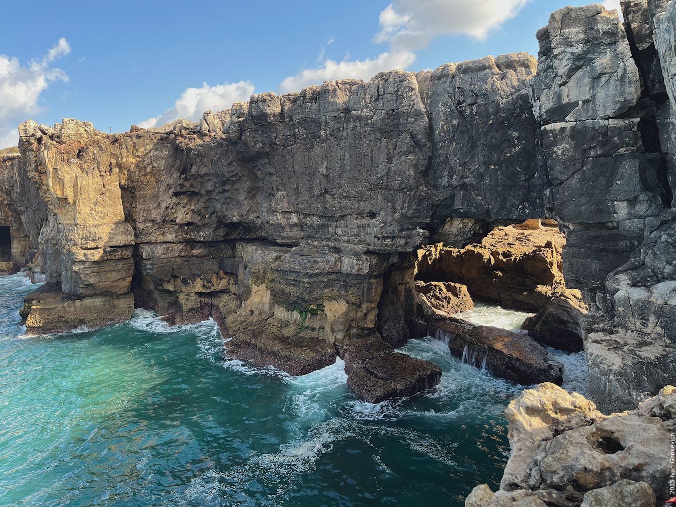
Boca do Inferno
I arrived at this place around 9 AM and found myself among a few other people admiring an opening in the cliff that let the water in and that thus looked like a mouth. It doesn't look hellish but more like a portal into the cove. The intricate wave motions make this place truly unique and beautiful — something that a photo can't convey.


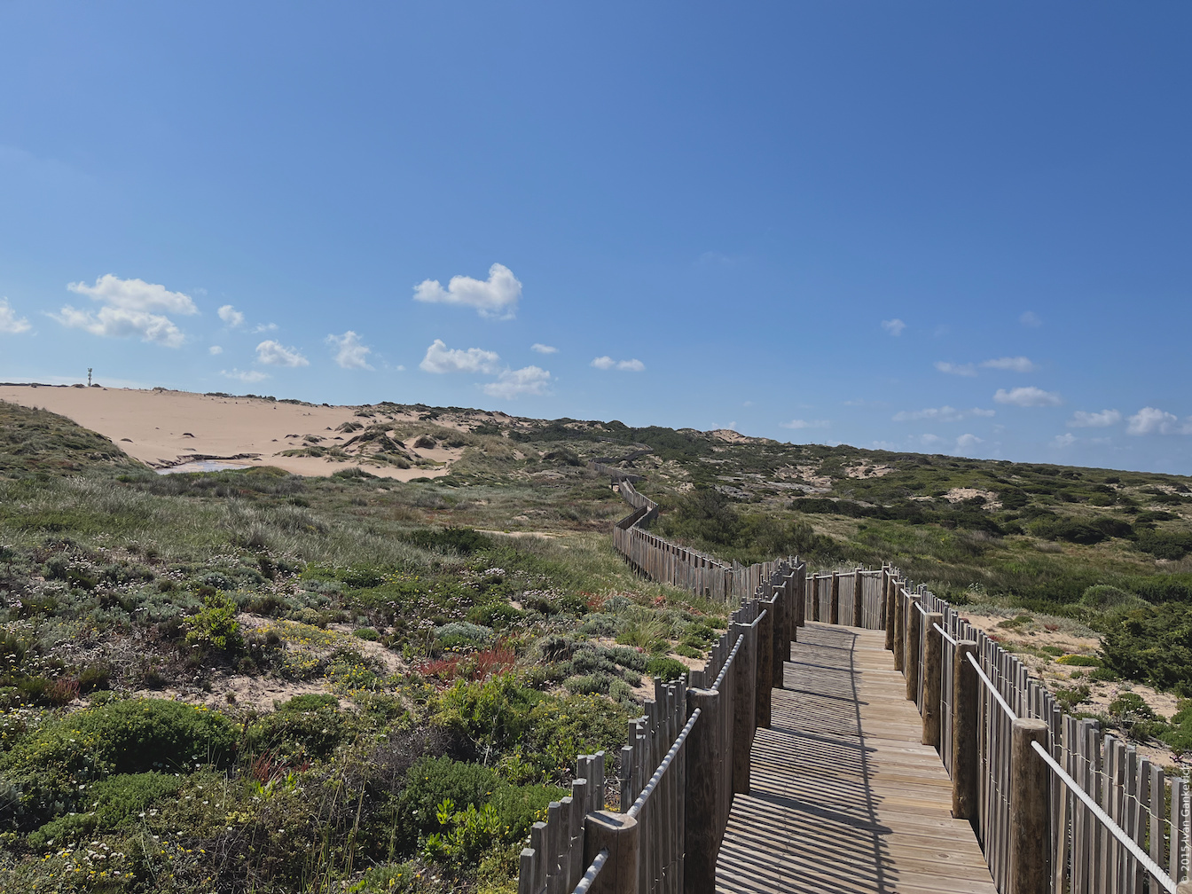
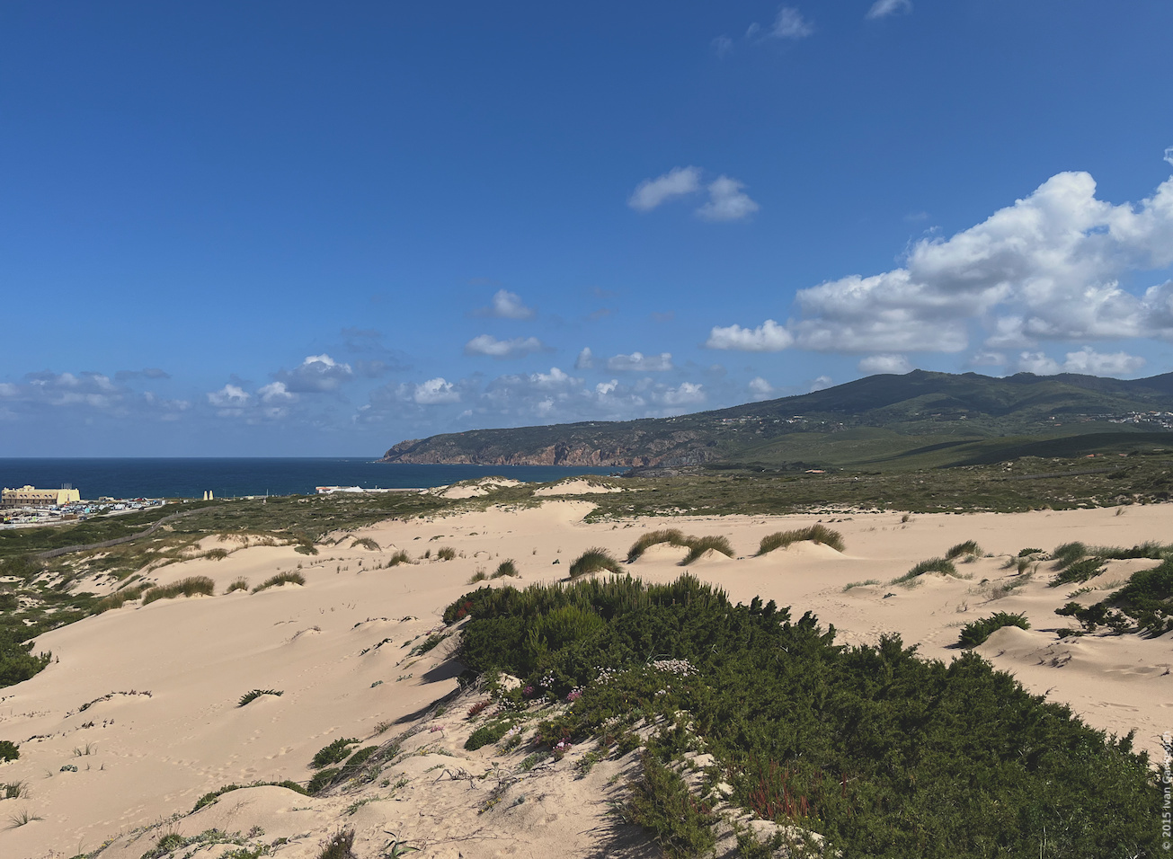
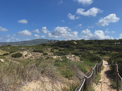
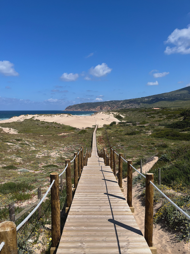
Duna da Cresmina
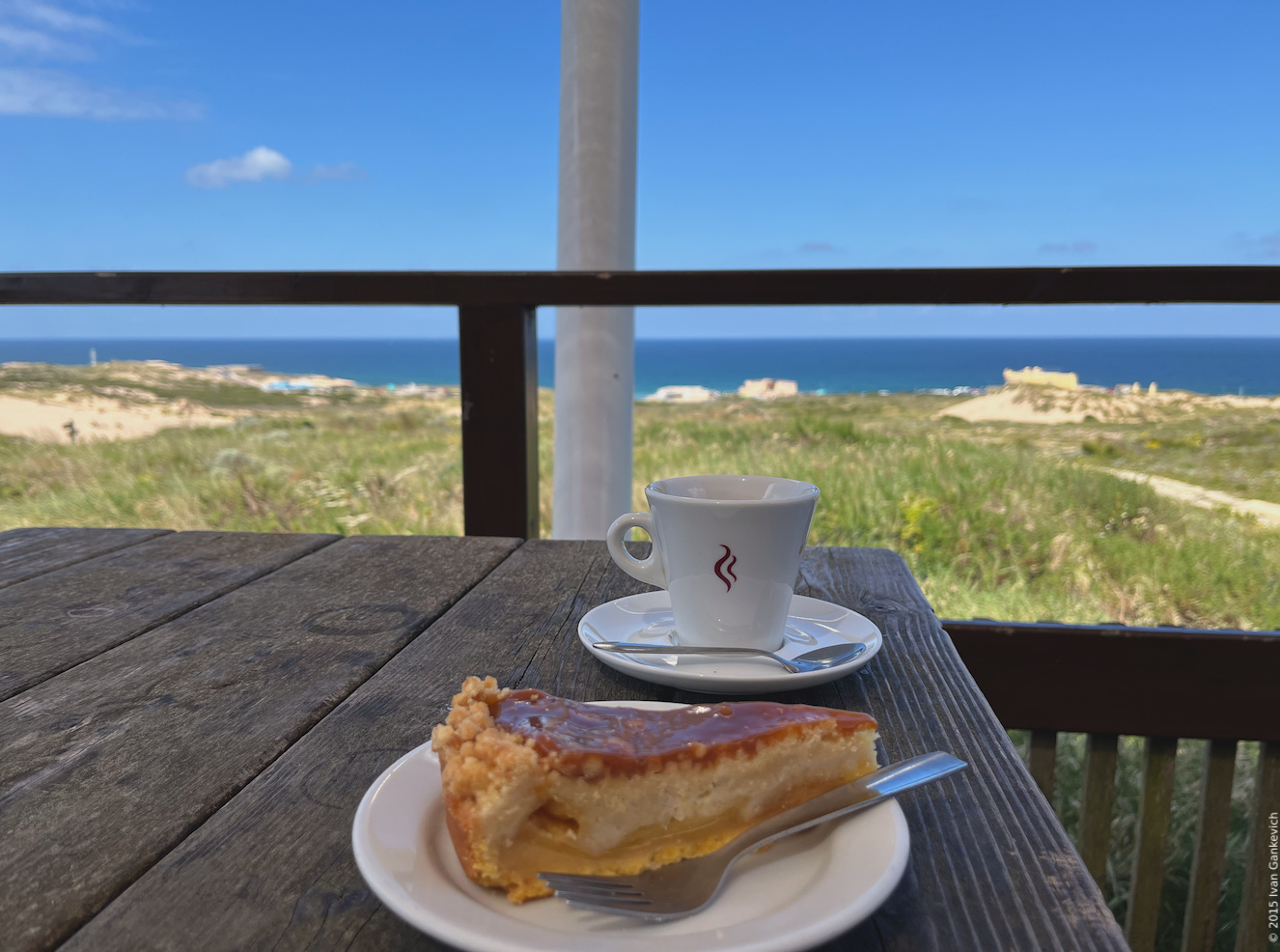
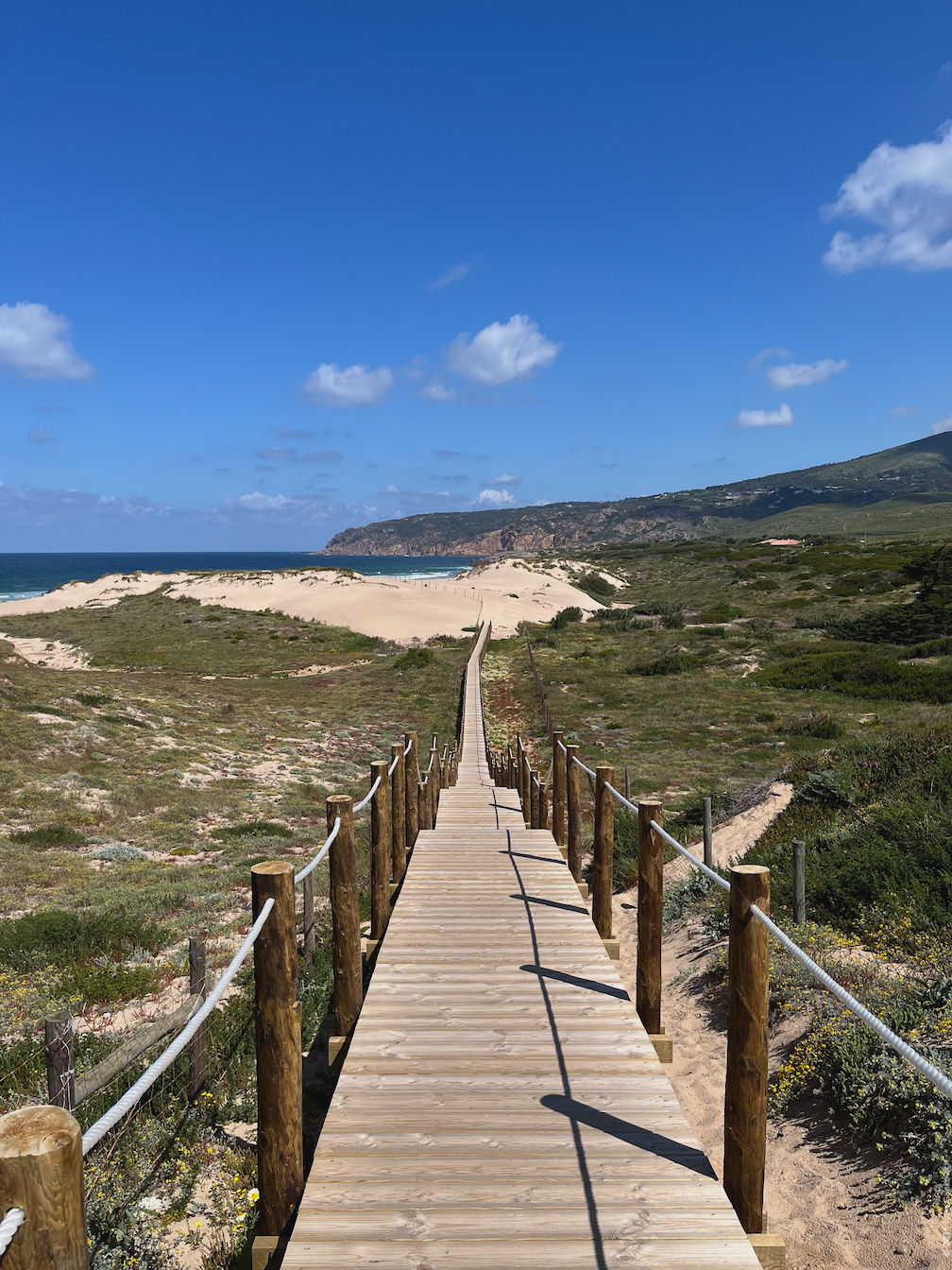
To reach the next destination I took a bus from Casa da Guia to Forte da Cresmina (Guincho). The sand dune rises above the green and rocky landscape. Strong winds blow the sand off the nearby beaches into the dune and increase its south-to-north extent by ten metres each year . The raised wooden platforms guide you through the dune to a cafe. Admiring beautiful ocean view while sitting in the shade and drinking coffee certainly made this place a highlight of my journey.


Praia do Guincho
Not too far away from the dunes is Guincho beach that was featured in a James Bond movie — the last step on the path to Portuguese wilderness. I walked through this big and empty space occupied by a small number surfers and a few occasional joggers, and found myself on a hiking path along the coastline. I can only imagine how beautiful sunset is in this place.
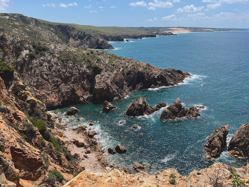
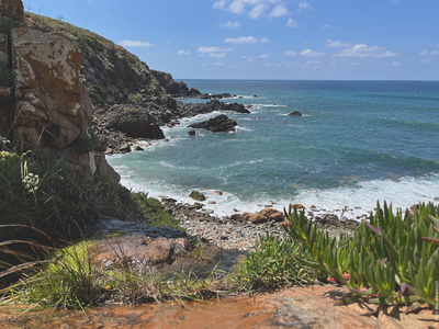
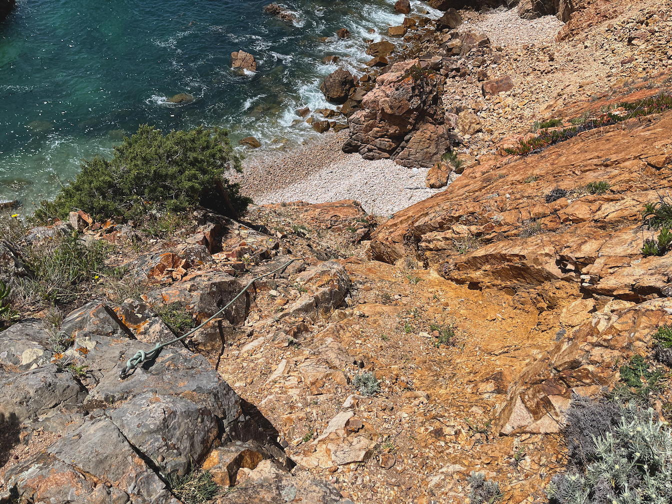
Praia da Grota
The path was winding along the coastline going up to clifftops and down to beaches. Eventually I reached Grotto beach — a small secluded rocky beach with a beautiful waterfall. While I was able to go down via a proper path getting up involved a little bit of climbing with the help of the rope that was conveniently secured on one of the rocks. After climbing I ended up on the proper path that led right through the top of the waterfall. If you're not into climbing you can go back and take another turn on the crossing to skip the beach. Climbing to the waterfall certainly made this place a highlight of my journey.

The way to Cabo da Roca
After the beach the path became repetitive, and eventually I lost my attention, rolled down on gravel and got my hand into a thorny bush. I didn't fall, but ended up with a huge thorn under my nail and many smaller ones all over my palm. Surprisingly it didn't hurt that much and in the evening I easily removed the large one with a pair of tweezers, alas removing smaller thorns took me almost an hour.


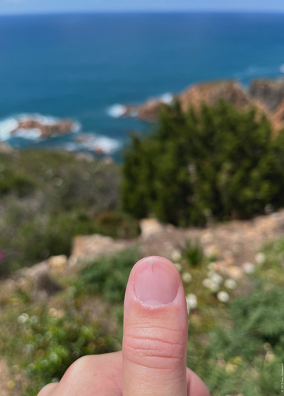
Thorny bushes are common along the coastal path, so wearing a pair of thick pants is a good idea. Alas they will not protect you from getting thorns under your nails…
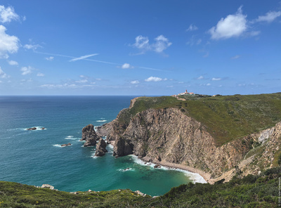
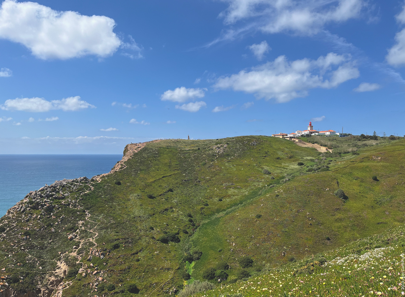
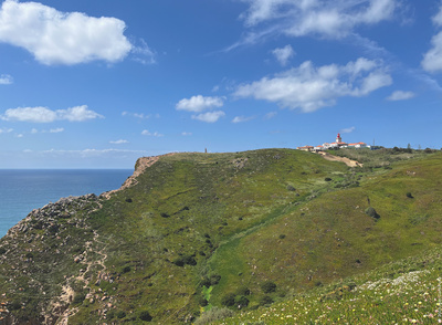
After going through the outskirts of Azóia you will be able to take a picture of Cape Roca. You can the cliffs, the monument that marks the location, the white lighthouse building and the green slope in the front. I took mine from here .

Cabo da Roca
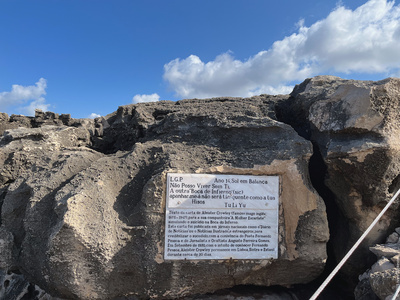
Finally I reached Cape Roca — the westernmost point of continental Europe. A small monument with the cross on top marks the location, its coordinates are writen on the plaque. Sadly I couldn't find anything else worth mentioning in this location apart from the crowds of tourists and a toilet that you might want to use after hiking almost twenty kilometres. I took a bus to Sintra and then a train to Lisbon. There at a hotel I was finally be able to remove splinters from my hand and rest.
Conclusion
I very much enjoyed hiking along the Atlantic coast: the weather was nice, the scenery was beautiful, the journey wasn't exhausting, and sipping coffee while admiring the seaview at the cafe was relaxing. On the flip side I didn't wear thick pants that would've protected me from the thorny plants along the path, and the path itself got a bit repetitive at the end. The westernmost point wasn't very exciting, however, the path along the coast was. The journey was more exciting than the destination, as often happens on a hike.
Download route
Download the full GPS track with my comments below.
Google Maps
- Includes photos, comments, and directions.
- Need Internet access to follow.
Google Earth
- Includes photos, comments, and directions.
- Need Internet access to follow.
GPX
- Includes photos, comments, and directions.
- Works offline.
KML
- Includes photos, comments, and directions.
- Works offline.